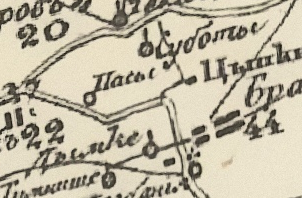
The village on Schubert's map (1826–1840):
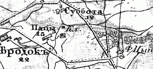
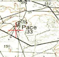
Also on the military topographic map of the Russian Empire (1846–1863):
In 1858, the village was located in the Imienin volost, Kobryn district, Grodno province. It had 103 revisory souls. In 1905, there were 238 inhabitants.
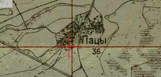
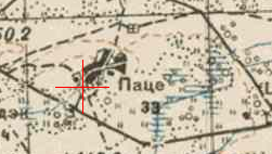
The village on the one-verst map:
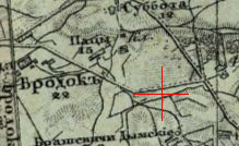
Also on the three-verst map:
From 1921 to 1939, the village was part of Poland. In 1921, there were 21 households and 101 inhabitants.
The village on the Polish WIG map:
From 1939, part of the Belarus SSR. In 1940, there were 109 households and 214 inhabitants.
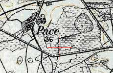
The village on the Red Army map:
Also on the German KDWR map:
During World War II, 16 residents were killed, including 12 at the front.
Since 1954, it has been part of Brest Region. Population: 163 (1959), 159 (1970), 70 (1995).