In the 15th century, Perkowicze belonged to the Turów and later the Wojtkowicz family. This was confirmed by King Sigismund the Old in 1538.
From the late 15th–16th centuries, the village was part of the Grand Duchy of Lithuania. In 1596, it was purchased by Bishop Kirill Terlecki, who built a fortified manor here.
Later it belonged to the Orzeszko family and then to the Wyslouch family, who owned it until 1939.
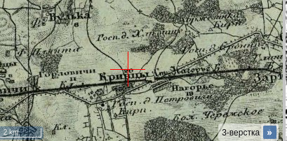
From 1795, it became part of the Russian Empire. The village is shown on Schubert’s map (1826–1840):
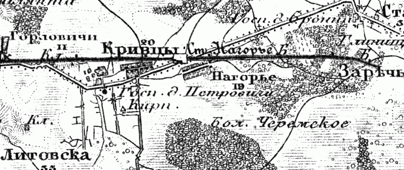
Also on the military topographic map (1846–1863):
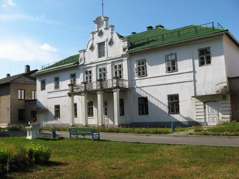
The estate later belonged to Felix Wyslouch and was used during the 1863 uprising as an ammunition depot.
The case of the redemption of land plots from Nosarzewski A.A. (1864–1869)
Case concerning redemption of land plots from Wyslouch A.V. (1864–1865)
In 1865, a public school was opened. Antoni Wyslouch later rebuilt the manor and developed a park of about 16 hectares.
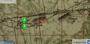
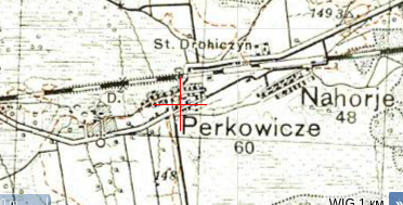
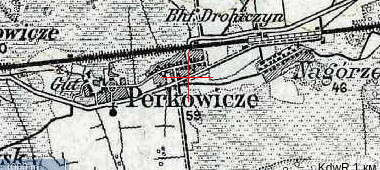
The village on maps:
From 1921 to 1939, it was part of Poland.
From 1939, part of the Belarus SSR. In 1940, there were 47 households and 411 inhabitants.

During World War II, 21 residents died.
Population: 485 (1960), 832 (1970), 633 (1995).
Manor house: