The village is mentioned around 1460 under the name Przyszychwosty, in the Grand Duchy of Lithuania. In 1509, its ownership was confirmed by Sigismund I the Old.
In 1589, it was part of Brest County. Peasants paid taxes and performed duties:
two days of corvée labor per week, a tax of 30 groschen, one day of communal labor per year, one barrel of rye and other duties.
In 1720, the settlement was divided into the town of Antopol and the village of Przyszychwosty.
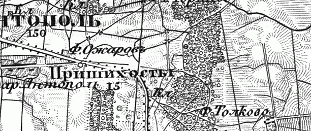
From 1795, part of the Russian Empire. The village on the military topographic map (1846–1863):
In 1858, the village belonged to Count Kazimir Orzarowski. There were 128 souls. In 1905, there were 439 inhabitants.
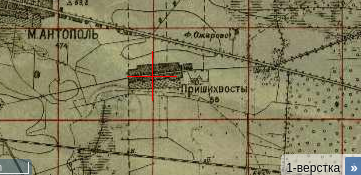
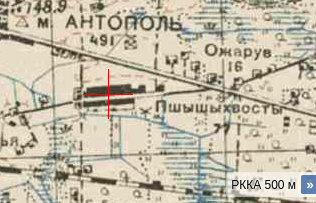
The village on the one-verst map:
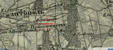
Also on the three-verst map:
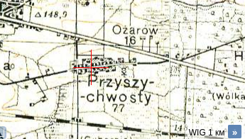
From 1921 to 1939, part of Poland. In 1921, there were 41 households and 255 inhabitants.
From 1939, part of the Belarus SSR. In 1940, the village had 345 inhabitants and was the center of the village council.

During World War II, 32 residents were killed, and 6 did not return from the front.
In 1950, there were 56 households and 205 residents. Since 1959, part of Drohiczyn District.
Near the village (0.8 km) there is a burial site of about 4,000 victims of Nazi crimes.