It is mentioned in written sources in 1694 in the Brest County of the Grand Duchy of Lithuania. From 1791, it was part of the Kobryn County.
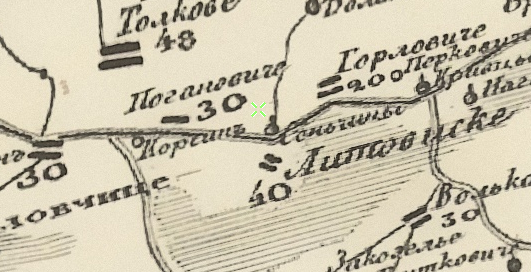
From 1795, it became part of the Russian Empire. The village is shown on Schubert’s map (1826–1840):
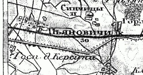
Also on the military topographic map of the Russian Empire (1846–1863):
In 1858, the village was part of the Korsun estate. There were 257 registered souls. In 1905, there were 515 inhabitants.
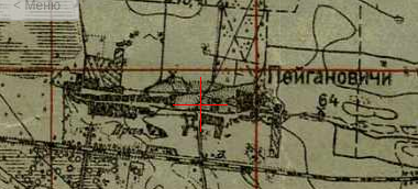
The village on the one-verst map:
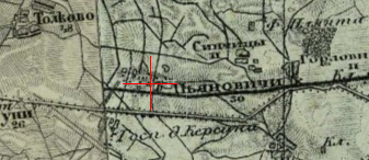
Also on the three-verst map:
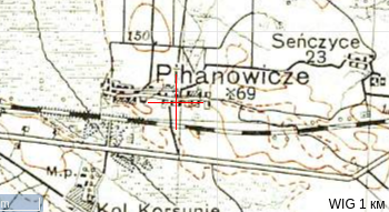
From 1921 to 1939, it was part of Poland. In 1921, there were 34 households and 192 inhabitants.
From 1939, part of the Belarus SSR. In 1940, there were 107 households and 566 residents.
During World War II, 24 residents of the village died fighting against fascism.
Population: 176 (1960), 415 (1970), 210 (1995).