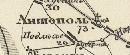
The village is shown on Schubert’s map (1826–1840):
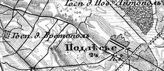
Also on the military topographic map of the Russian Empire (1846–1863):
In 1858, the village was located in the Antopol volost, Kobryn uyezd, Grodno Governorate, Russian Empire. It was the center of a rural community and part of the Antopol estate of Kazimir Arzorowski, with 233 registered souls (state peasants).
In 1890, it belonged to the estate of Sofia von Brewern. The peasants had 460.5 dessiatines of land, 285 of which were arable. In 1905, the village had 580 inhabitants.
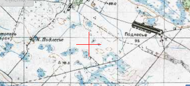
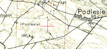
The village on the one-verst map:
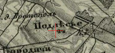
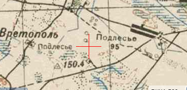
Also on the three-verst map:
From 1921 to 1939, it was part of Poland, in the Antopol gmina, Kobryn County, Polesie Voivodeship. In 1921, there were 40 households and 229 inhabitants.
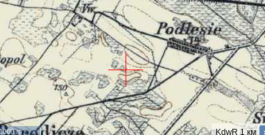
Since 1939, it has been part of the Belarus SSR. The village is also shown on Soviet and German military maps.
During the Great Patriotic War, three residents of the village were killed, all of them at the front.
Population: 294 (1959), 237 (1970), 131 (1995).