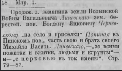
Popina is mentioned in 1522 in a deed of gift from Grand Duke Sigismund I the Old of Lithuania. The settlement is also recorded in 1580 documents mentioning the sale of lands and an existing Orthodox church.
More details about the church can be found in the neighboring section Church in Popina.
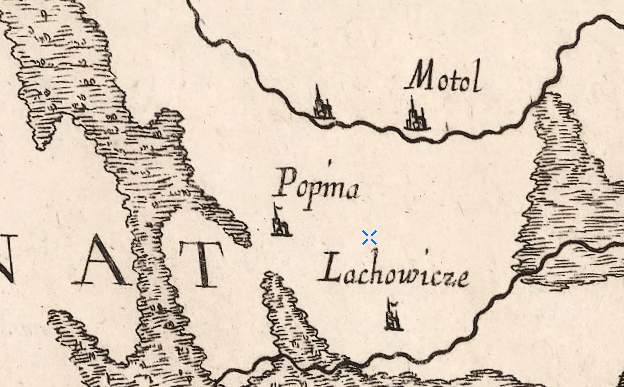
The settlement is also marked on a map from 1665:
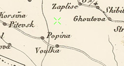
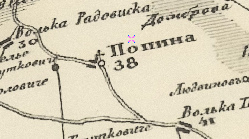
From 1795 it became part of the Russian Empire. The village is shown on Schubert’s map (1826–1840):
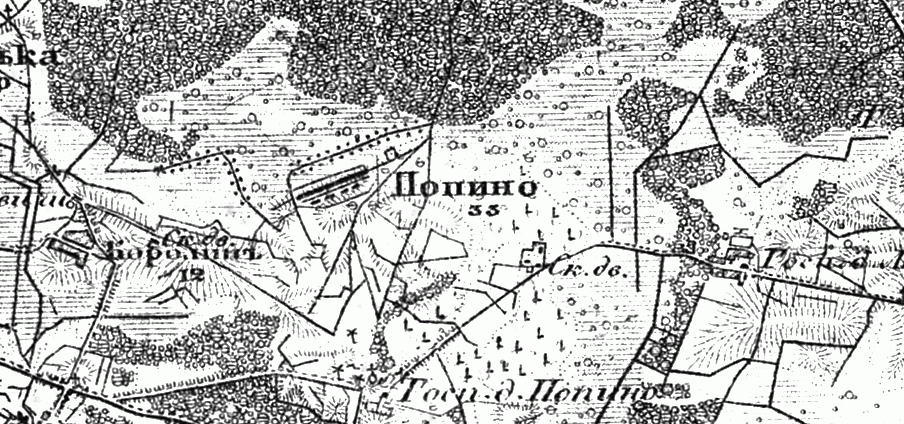
Also on the military topographic map of the Russian Empire (1846–1863):
In 1858, the village was the center of a rural community with 188 revision souls, a church, and a school. In 1905, there were 386 inhabitants.
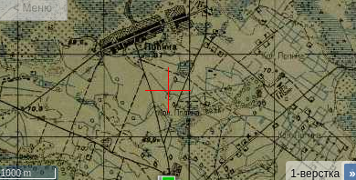
The village on the one-verst map:
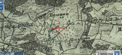
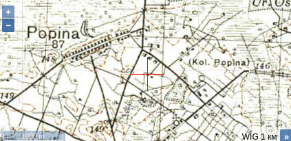
Also on the three-verst map:
From 1921 to 1939, it was part of Poland. In 1922, a stone church was built.
From 1939, it became part of the Belarus SSR. The village is also shown on Soviet and German military maps.
During the Great Patriotic War, 22 residents were killed, and 17 did not return from the front.
Population: 719 (1960), 235 (1970), 169 (1995).