The Russian State Historical Archive has a record about the village of Seliszcze. F. 379 Op. 4 D. 352, dates: May 4, 1814 - June 26, 1814:
Case concerning the allocation of land to peasants in the village of Seliszcze.
This fund contains information about state forests, forestry, and a description of landowners' lands in the Western Region. It is possible that this record refers to our village. However, full confirmation requires archival verification.
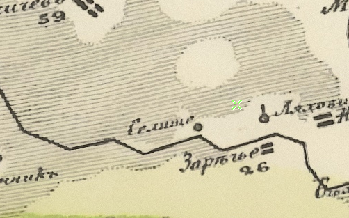
The village on Schubert's map from 1826-1840:
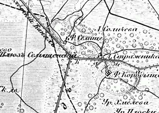
Also on the military topographic map of the Russian Empire (1846-1863):
The RGIA archive contains a record of land redemption from M.V. Winter (1865–1872) in the estate of Seliszcze or Zareczka:
Case of the redemption of land plots from M.V. Winter by temporarily obligated peasants in the estate of Seliszcze or Zareczka (Grodno Province), June 7, 1865 - August 22, 1872.
Written sources also mention the estate in 1890 in Osowiec volost, Kobryn district, Grodno province.
From 1921 to 1939 it was part of Poland, in Osowiec gmina, Drohiczyn district, Polesie Voivodeship. In the 1930s there were 2 households.
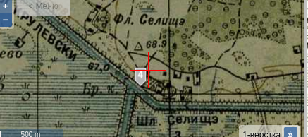
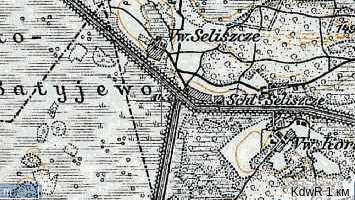
Also on the German military map (KDWR):
From 1939 it became part of the Belarus SSR. The colony had about 40 inhabitants. During WWII, partisan activity was recorded in the area of the Dnieper-Bug Canal.