The settlement has been known since the 16th century as part of the Grand Duchy of Lithuania.
From 1795 it became part of the Russian Empire in the Kobryn district, later the Lithuanian province, and from 1801 the Grodno province.
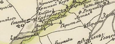
The village on Schubert's map (1832):
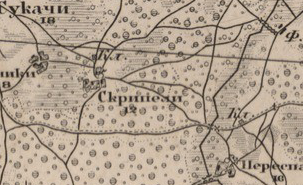
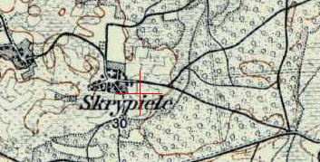
Also on the military-topographic map of the Russian Empire (1846–1863):
In 1858 the village in the Imienin volost, Kobryn district, part of the Podrecka community, had 113 registered souls (state peasants), former subjects of the Torokany Monastery. In 1905 there were 227 inhabitants.
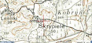
From 1921 to 1939 it was part of Poland, in Imienin gmina, Drohiczyn powiat, Polesie Voivodeship. In 1921 there were 78 households and 445 inhabitants, entirely Belarusian Orthodox population.
From 1939 it became part of the Belarus SSR. In 1940 there were 52 households and 240 inhabitants. During WWII 15 residents were killed.
Since 1954 it has been part of the Brest region. In 1970 there were 163 residents, and in 1995 there were 45 households and 65 residents.