The settlement has been known in written sources since the 15th century as part of the Zditow volost in the Kobryn principality of the Grand Duchy of Lithuania. In 1452, Grand Duke Kazimir Jagailowicz transferred part of the volost to Prince Yuri Siemenowicz.
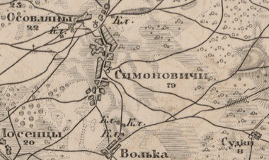
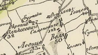
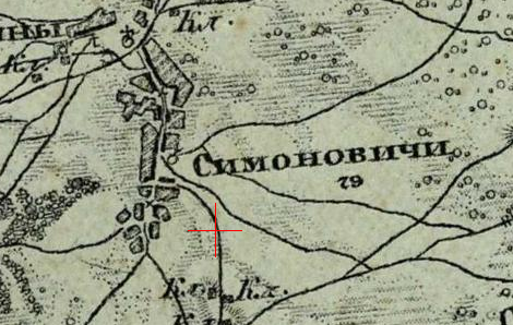
In 1858, the village was divided into Symonowicze 1 and Symonowicze 2, belonging to different rural communities. By the late 19th century, the settlement had grown significantly and included schools and administrative structures.
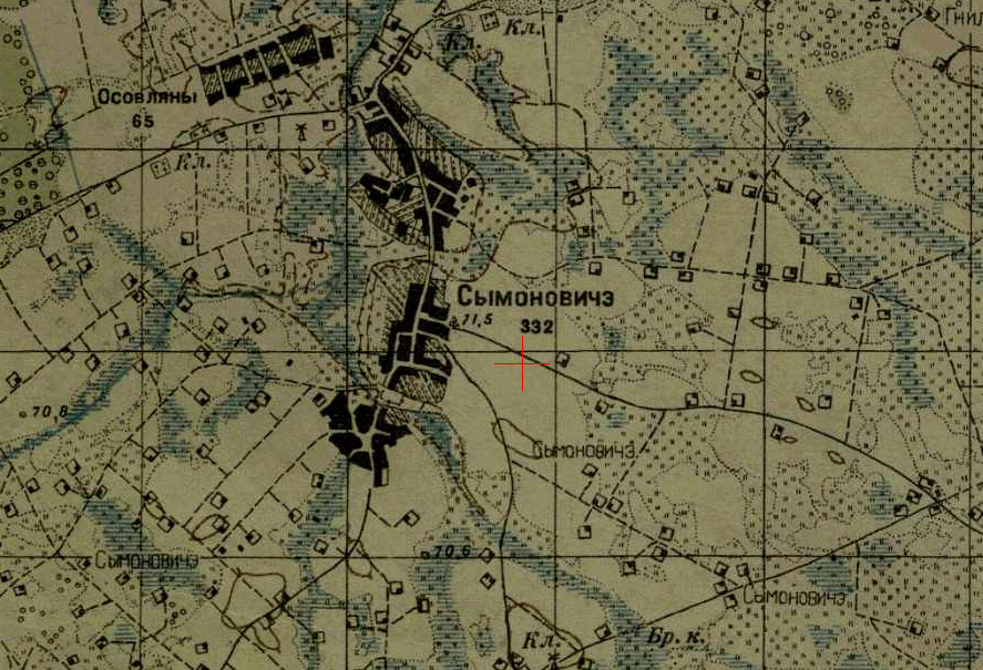
From 1921 to 1939, it was part of Poland, in the Braszewicze gmina, Drohiczyn district, Polesie Voivodeship. The village had a mixed population and developed local infrastructure.
From 1939, the village became part of the Belarus SSR. During World War II, it suffered heavy destruction, and many residents were killed or did not return from the front.
After the war, the village was rebuilt and later became part of the Brest region. Population changed significantly throughout the Soviet period and after 1991.