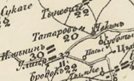
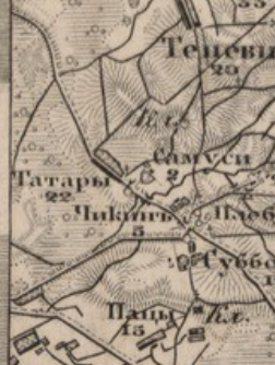
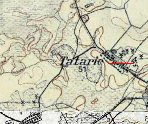
The village appears on Schubert’s 1832 map under the name Tatarow. The name is likely connected to historical Tatar settlement in the Grand Duchy of Lithuania, though this remains a hypothesis.
In 1858, the village was part of the Ziolow volost in Grodno province and had 186 revision souls. It was the center of a rural community belonging to the Ziolow estate of landowner Tutkiewicz.
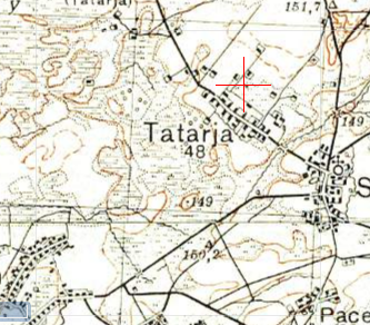
During the interwar period (1921–1939), the village was part of Poland in the Ziolow gmina, Drohiczyn County, Polesie Voivodeship.
From 1939, the village became part of the Belarus SSR. During World War II, several residents were killed, and others did not return from the front.
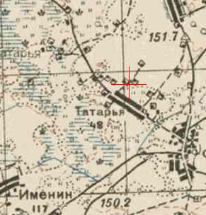
After the war, the settlement remained within the Brest region, with population changes recorded throughout the Soviet period and after 1991.